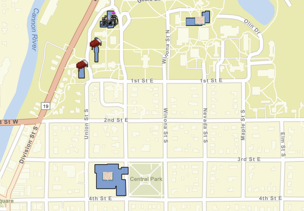
For this scale of this assignment, ArcGIS was pretty simple and straightforward after the walk-through in class. I was able to change all the settings pretty easily, though I sometimes had to spend a little time looking for which tab allowed me to change which things. Adding the icons was easy, as was drawing the polygons. I decided to omit the latitude and longitude from the icon pop-ups, and added a table for the polygons that had the building names so that when you selected the polygon it didn’t just say “polygon”. I chose the street map base map because I thought the colors fit my icons and it wasn’t too busy and distracting. It was overall very doable and fun!
The only trouble I had was trying to do an embedded link in WordPress. First, it wouldn’t make a link because one of my layers wasn’t public shared, and I couldn’t figure out how to do the sharing it wanted me to do. Even if I had figured that out, I couldn’t get WordPress to stop writing out the code in the post. It would preview the map while I edited the blogpost, but if I previewed the post it would show a block of code. I eventually decided it wasn’t worth it and gave up.
