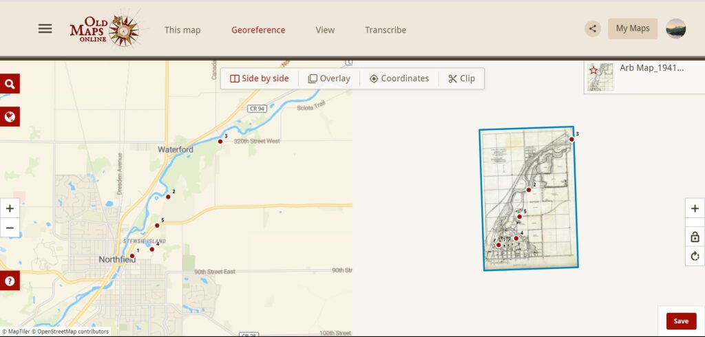
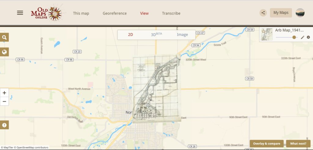
This was my first time doing any type of georeferencing. I thought it was an interesting experience. I think this work takes a lot of time and patience. You have to focus on making sure the points on the maps are (almost) correct or the map doesn’t turn out that well. I struggled with finding the points on both maps that matched. Referencing the first image below, there wasn’t a border on the map on the left side, making it difficult to distinguish where the endpoints of the map were. I think if I had taken more time to clearly define the exact points, my overlaid map would have turned out better. Given the circumstances, the image turned out pretty well. There a some parts that don’t line up, but I think that’s the part of the learning process. After georeferencing this map, I can see how this can be used for analysis. If there were some changes made so you could see both of the maps at the same time, it would be interesting to see the changes made to the Carleton campus over time (ex: buildings, roads, land etc…). The next steps would be to take a closer look and maybe add more control points to make the map more accurate.
There are some problems and limitations that one should consider when georeferencing. For my case and in general, I would say the historical period. Because land changes over time, there could be great distinctions between the two maps that you are georeferencing. This also can impact how precise your overlaid image gets because the proportions may not be correct. There are some limitations when maps are not labeled. It is really hard to distinguish pieces of land with little to no labels.
If I was looking at this map and doing this project for a historical study, I would be cautious about which maps I overlay it on. This is because the “Map of Carleton Grounds” should be compared to similar maps to show/see the changes over time. It would be hard to distinguish the changes if what is presented is an overlaid map similar to mine. This experience helped me further understand spatial Digital Humanities maps. It made me think and further understand how these maps are used in different ways and different contexts. I am also fascinated to see the results of every project.

I agree that you have to be very patient in order for georeferencing to actually matter. I feel that if you are not being especially careful it is not going to match up so it would be the same thing as just overlaying the map without any distorting. I think it makes sense about having to be sensible when choosing what maps work, I don’t think any map really matters.