For my mapping adjustment project this class, I mapped and adjusted a chart of the Carleton campus grounds onto the David Rumsey Historical Map Collection site. I see this site as an incredibly useful tool – so often old maps almost exist in a different space from ours, as if they’re from another earth, one without any bearing on the way we live today. My overlaying these maps, and making it easy to compare our current world to the one from the past, it makes it easier to connect the two.
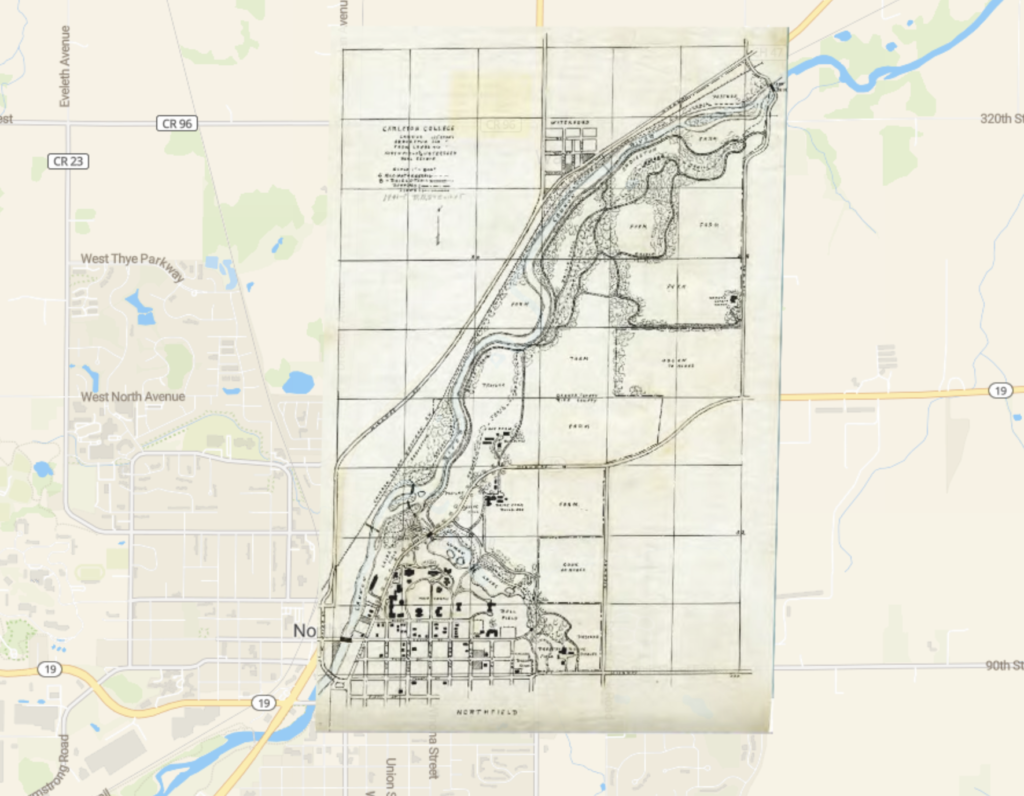
For next steps, updating the old maps from those images to almost a “google maps” style of vector plotting could improve access to the maps, making it easier to understand and parse the information. This could also undermine some of what makes those old maps cool, though, removing the style and tone of the original. Maybe creating a massive map of all of the corrected and adjusted small maps for the world? Like each town’s 1980 census map combined into a huge mural could be really interesting to look at.
The necessary distortions to match maps to our current model of our world can undermine some of the original uses of a historical map – seeing how people in the past got this information wrong is relevant to history, in old models of the earth and skewed paths. This data is great, but it cant’ overwrite the original.
I don’t think this process changed how I think about other DH projects, it’s around what I was expecting, though actually doing it myself was incredibly interesting. Maybe in some sense it changed how difficult I consider these projects, as by this point the tools we use have been streamlined to a point where pretty much anyone can do this first step of placing and adjusting out the map. There could be more difficult steps past that though.

I really like your point that trying to squeeze old maps into the confines of modern technology can take away from it. This is especially clear when analyzing ancient nautical maps like we did in special collections; if these maps were perfectly accurate, they would mean less to current historians. Seeing biases, past technologies, and inaccuracies evident in old maps gives them extra spice.