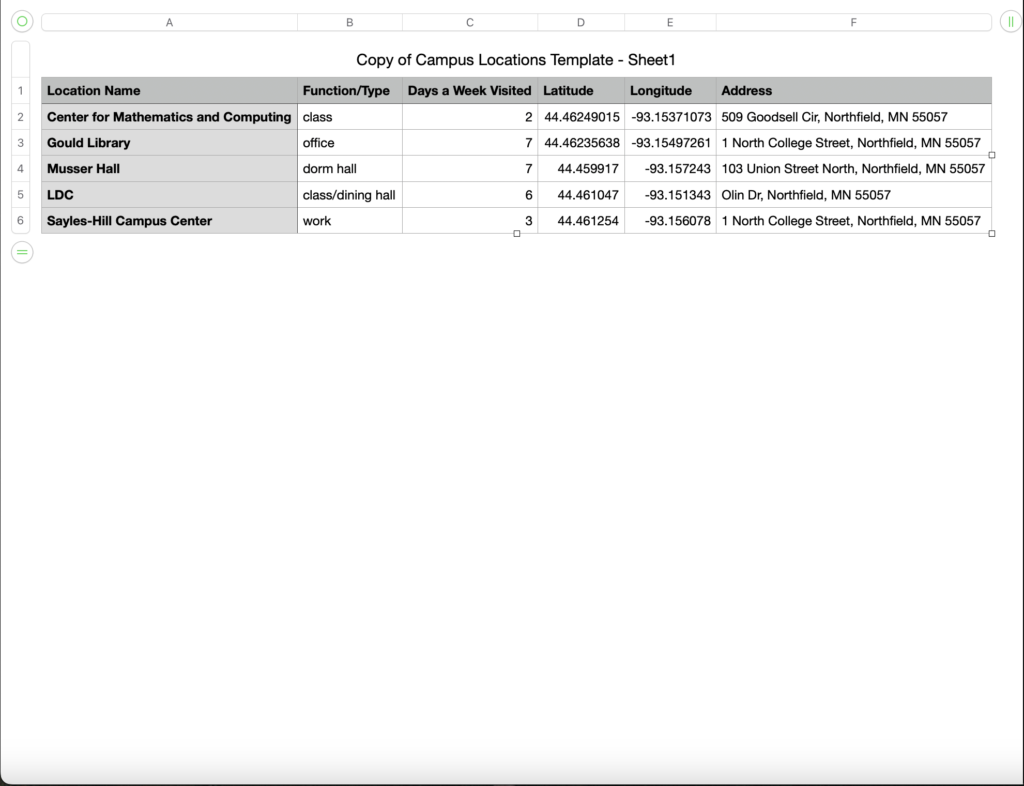
This was honestly probably one of the more confusing labs I’ve completed. Transferring the data from my spreadsheet to the software was easy enough, but I could not figure out how to manage all the different layers. I had, at one point, changed my symbols to something else but then it reverted back to dots after I drew polygons. Using software that feels dated and clunky without a tutorial can be a little frustrating, but ArcGIS is definitely still a powerful tool. I enjoy maps, and I would be interested in using this tool further. I think once you have a mastery of the software, using ArcGIS would be extremely fun.
The potential of ArcGIS is its power as a teaching tool. All of the options you have with it, you could make some insane teaching maps. There are so many different opportunities for visual learners. ArcGIS could also be used to map social justice issues. The power to import data into the maps is important. The maps could be used for good and to educate people on important issues.
Even thought this lab was difficult to comprehend for me and I probably didn’t hit all of the points I needed to, I still value the knowledge I gained from it. Maps are very important to understanding the world around us, and those who can make maps control what people learn. Learning how maps are made makes it easier to discern if a map you are looking at is a good map, and if it has your best intentions at heart.
