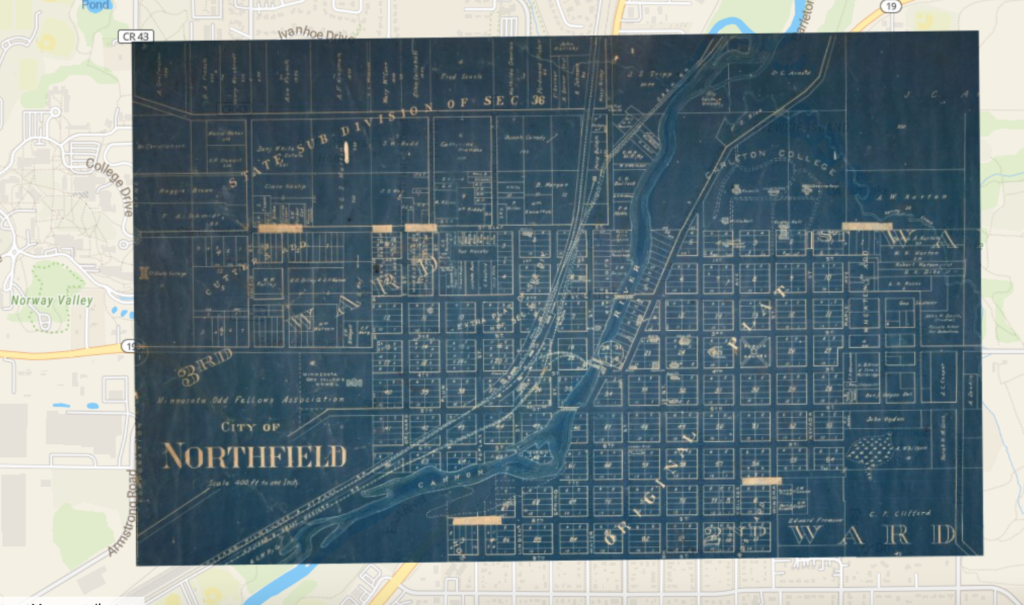
I can see many ways a georectified map would be helpful. It allows someone to compare an area and what was there between different time periods. It also helps catch issues with maps through discrepancies. Layering maps in this way take history and make it much more real and accessible to many people. It is a very powerful tool for historians as they gather information about towns and cities that no longer exist. Next, I could label the different buildings on the map that match and I can see how much was developed between the first and second map. Some problems with georeferencing are that not all maps are super accurate and it makes it hard to lay them on top of each other if the proportions or details are off. Also landforms can change as we can see in the Northfield map where the path of the river is slightly different. Some maps are more reliable than others so it is important to know the context of each map to know which is more accurate in the case of discrepancies. Some maps have different agendas than other maps so this is another reason it is important to know the context of each map. This process didn’t change my understanding of other spatial digital humanities projects but it made me think a lot more about the difficulties of making a map. It is amazing to me that maps from so long ago can be so accurate without the tools of satellite imaging and other technologies we have today. The attention to detail on some of the maps is amazing and it made me think much harder about what information each map was trying to demonstrate. Not all available details can be included so choosing which ones to show is almost more important than how they are displayed.
