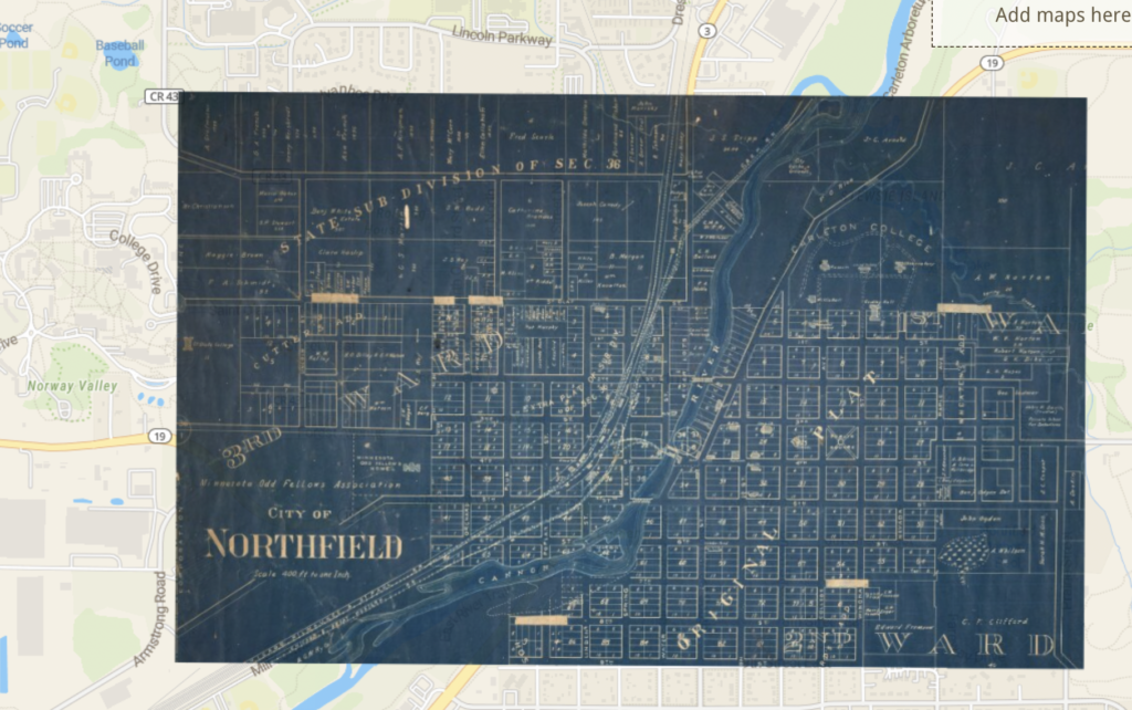
This project was interesting to see the results when completed however matching the points with the old maps was quite difficult. Transitioning into the questions, georectified maps enable advanced spatial analysis. Being able to overlay different datasets to identify patterns, correlations, trends and other hidden information that might be hidden in non-georeferenced maps. This creates firstly the possibility for geologists or historians to derive detailed information on the changes in the landscape and environmental development over time. Secondly, people who contract civil engineers such as real estate developers or the government can use georeferencing to model scenarios for future developments, assess transportation networks, and allocate resources effectively. Lastly, georeferencing could help environmentalists to monitor ecosystems and identify areas that are in dire need of protection which would then assist with disaster management by tracking areas that are or have been prone to natural disasters to help take conservative efforts. However, some of the problems or limitations with georeferencing are that it relies on accurate data for reference, which may not always be available, especially for older maps and it can be sometimes difficult to validate the data. Furthermore, errors can occur, affecting the reliability of the results because the maps are not perfect representations of what the place actually is. Lastly, it could arguably be invading peoples privacy depending on how the map is generated and distributed.
One of the biggest limitations would be people not knowing or understanding the purpose and context of the map and then interpreting the data incorrectly. Knowing the context, purpose, and distortions of a historical map is crucial for approaching it in a historically meaningful way. This information allows people to make informed and accurate interpretations, avoid missteps, and extract valuable insights that contribute to a deeper understanding of the past. Overall, this process has changed the way I look at spatial DH projects by highlighting the significance of context, purpose, and potential map errors, making me appreciate the intricacies of historical and geographic analysis more deeply.
